Home > Artwork and documents > Maps & Plans

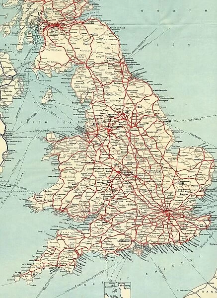
British Railways network map 1950s

British Railways network map 1950s


We accept all major credit cards

STEAM Museum Photo Prints and Wall Art

British Railways network map 1950s

A map showing the rail lines across the British Railway network during the 1950s

Media ID 20350523

© STEAM Picture Library

British Railways


MADE IN THE UK
Safe Shipping with 30 Day Money Back Guarantee

FREE PERSONALISATION*
We are proud to offer a range of customisation features including Personalised Captions, Color Filters and Picture Zoom Tools

SECURE PAYMENTS
We happily accept a wide range of payment options so you can pay for the things you need in the way that is most convenient for you

* Options may vary by product and licensing agreement. Zoomed Pictures can be adjusted in the Basket.


Related Images


GWR Network Map, c1920s
Swindon Works Map, c. 1940s
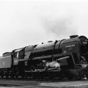
No 92220 Evening Star
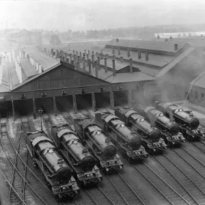
7 King Class Locomotives at Swindon Shed, 1930
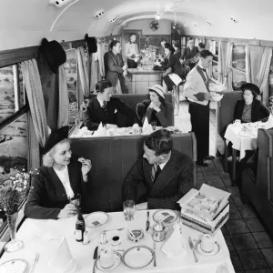
Buffet Car from the 1930s
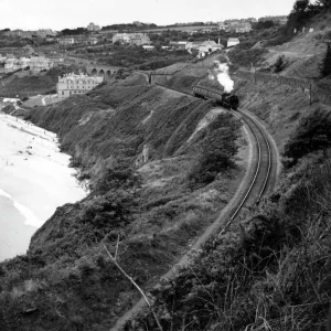
Locomotive at Carbis Bay in Cornwall, 1950s
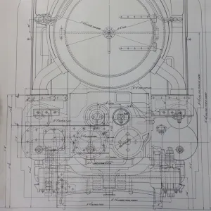
Design drawing for the King Class locomotive, 1927
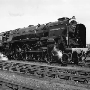
BR 8P Class Locomotive No 71000, Duke of Gloucester
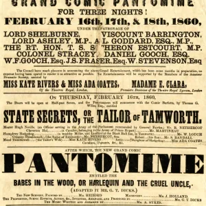
Swindon Mechanics Institute Pantomime poster, February 1860
No 92220 Evening Star, in steam
Modified Hall class, 4-6-0, No. 7903 Foremarke Hall at Bath Spa, 1960s
Pannier tank, no. 7766, c. 1930s

+

Shipping

+

Choices

+

Guarantee