Home > Artwork and documents > Maps & Plans

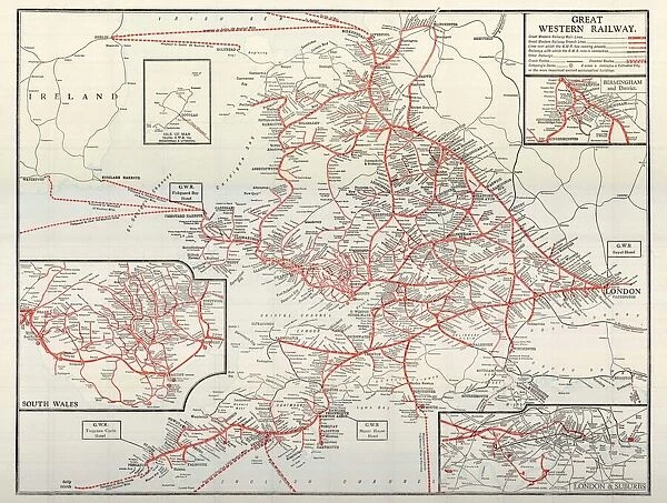
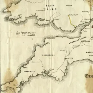
GWR Network Map, c1920s

GWR Network Map, c1920s


We accept all major payment options so you can pay for the things you need in the way that is most convenient for you

STEAM Museum Photo Prints and Wall Art

GWR Network Map, c1920s

GWR network map from about the 1920s. Shows the sea routes to Ireland as well as network details for South Wales and London

Media ID 15193706

© STEAM Museum of the GWR

1920s

Your artwork will be printed orientated as per the preview above, with landscape (horizontal) or portrait (vertical) orientation to match the source image


Made in UK
Safe Shipping, Easy Returns

FREE PERSONALISATION
We are proud to offer a range of customisation including Cropping, Captions, and Filters. Zoom Cropping can be adjusted in the basket

SECURE PAYMENTS
We accept all major payment options so you can pay for the things you need in the way that is most convenient for you


Similar Pictures


Swindon Works Map, c. 1940s
British Railways network map 1950s
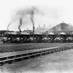
7 King Class Locomotives at Swindon Shed, 1930
GWR Prospectus Map from 1834
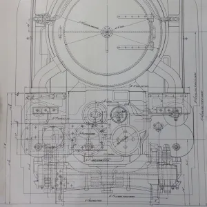
Design drawing for the King Class locomotive, 1927
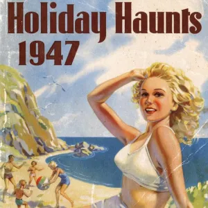
Holiday Haunts guide book, 1947
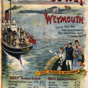
Guernsey & Jersey via Weymouth poster, about 1891
7 King Class Locomotives at Swindon Shed, 1930
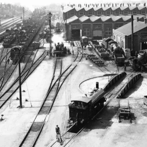
Swindon Works, 1908
Swindon Works, 1908
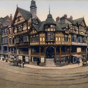
Eastgate Street, Chester, c1890s
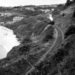
Locomotive at Carbis Bay in Cornwall, 1950s
Pannier tank, no. 7766, c. 1930s

+

Shipping

+

Choices

+

Guarantee